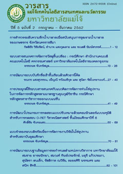
การสำรวจระดับความลึกน้ำบาดาลเพื่อสนับสนุนการขุดเจาะน้ำบาดาลของเกษตรกร จังหวัดนครราชสีมา
คำสำคัญ:
Geographic Information System, Groundwater Levelบทคัดย่อ
The purposes of the research were Analyze the depth of groundwater in Nakhon Ratchasima area. 2. Groundwater Geology Modeling in Nakhon Ratchasima. and to Analyze the cost of underground water drilling. The research findings showed that the Depth analysis of groundwater in Nakhon Ratchasima area The depth ranges from 26 - 50 meters, with the largest area being 10,192.04 square kilometers, 49.12%. The largest area is located in Amphoe Pak Chong. The depth is 51 - 75 meters. Area 5,421. 2 square kilometers, The largest area in Pak Chong is 26.13%. The third level is 1 - 25 meters. The area is 2,858.96 square kilometers. The largest area in Amphoe Non Sung was 13. 78% , and the lowest depth was 276 300 meters. The area was 0.2 square kilometers. 0.001% of the area was the largest in Amphoe Thepharak. The average cost of drilling wells was 768 baht /meter.
การดาวน์โหลด
ตีพิมพ์แล้ว
ฉบับ
ส่วน
ใบอนุญาต
Journal of TCI is licensed under a Creative Commons Attribution-NonCommercial-NoDerivatives 4.0 International (CC BY-NC-ND 4.0) licence, unless otherwise stated. Please read our Policies page for more information...